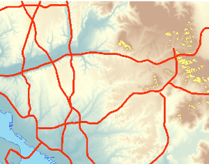
Geospatial Data Issues
-
Turning Data into Information
This particular course provided by ESRI's Virtual Campus introduces GIS users to basic spatial data structures, sources of error, and basic spatial analysis. This module included six modules: Basics of Data and Information, Cartography, Map Production, and Geovisualization, Query and Measurement, Transformations and Descriptive Summaries, Optimization and Hypothesis Testing, and Uncertainty. I'll describe each of the six modules in more detail below.
Read more... -

Geocoding Tabular Data
A local business has chosen me to conduct a geographic analysis of their customer base near Raleigh, North Carolina. The goal of the analysis is to assist the business in targeting an advertising campaign to expand their customer base in Wake County, North Carolina. The business collects customer address information, but is unsure how to visualize their customer base on a map. My job is to convert their database of customers into a geographic dataset that can be used to conduct further spatial analysis.
Read more... -
AutoCAD Integration
The NC State administration has asked that the GIS Department take over the management of the facilities inventory supporting campus planning. To this point the Campus Masterplan has been managed through Computer Aided Design (CAD) software. I have been tasked with transitioning the data from AutoCAD to an ESRI Geodatabase.
Read more...
subscribe via RSS